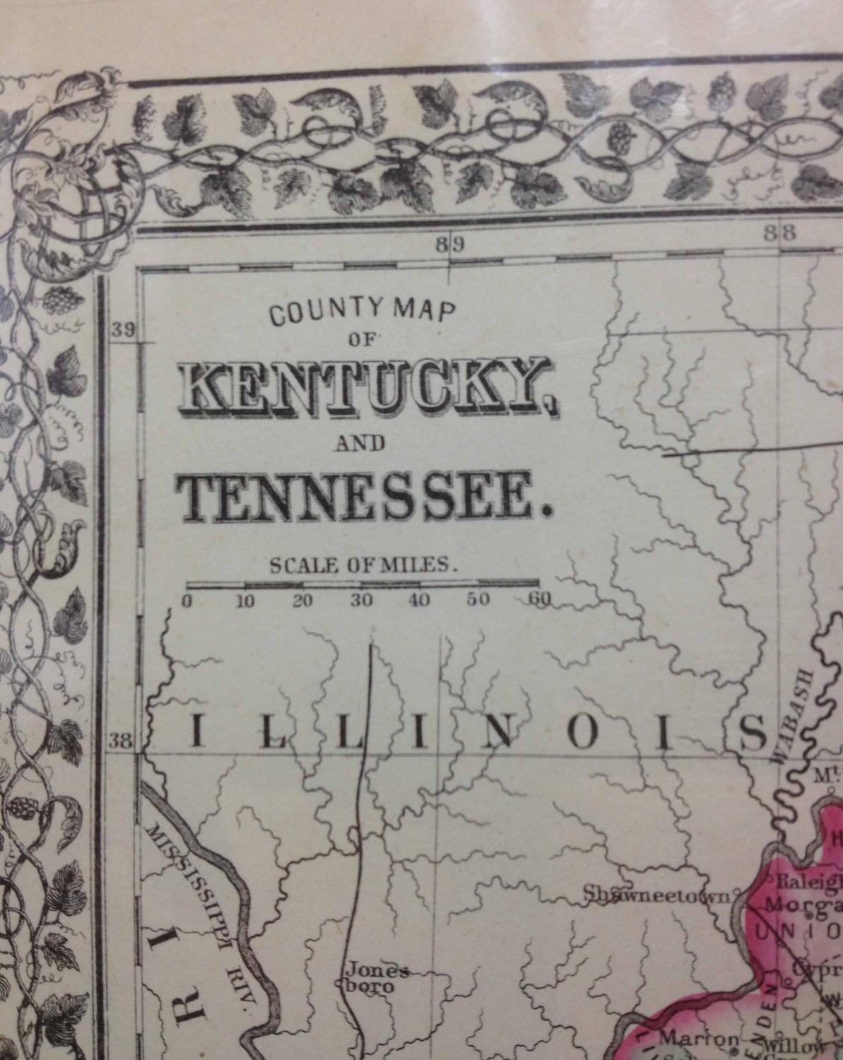
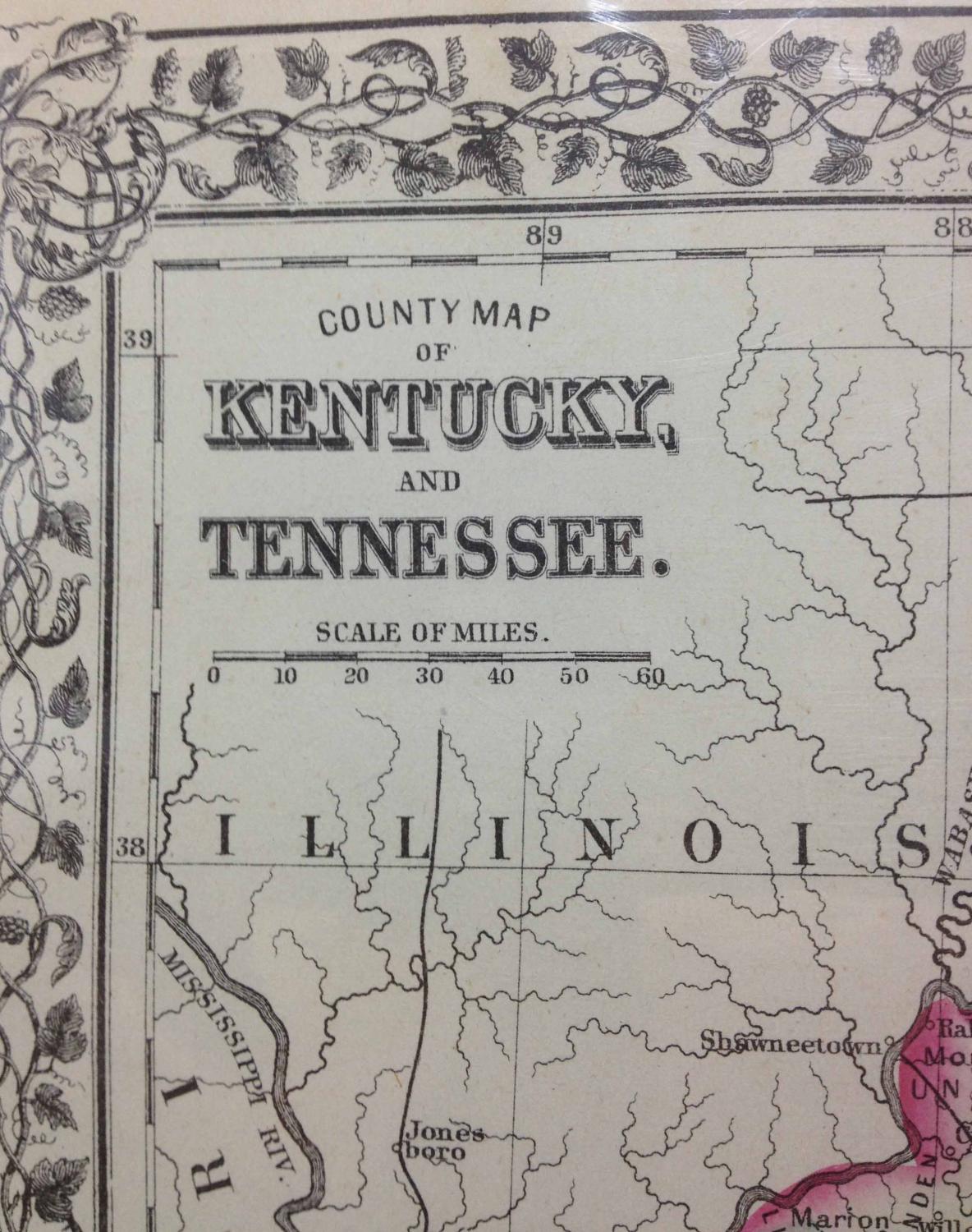
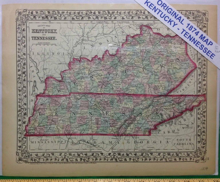
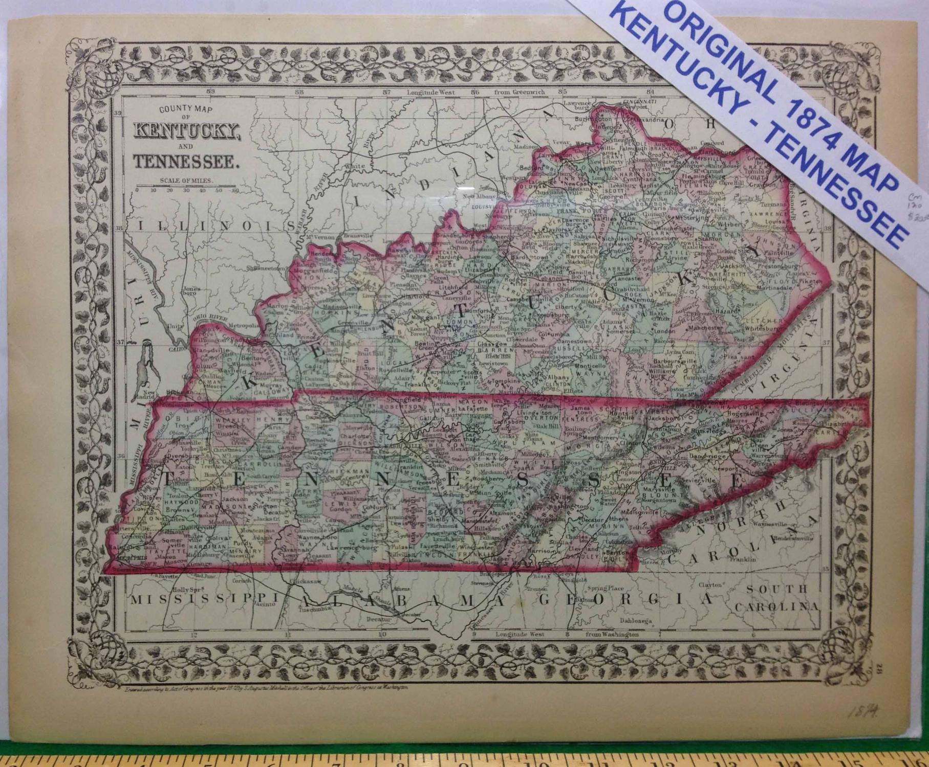
COUNTY MAP OF KENTUCKY AND TENNESSEE.
(Philadelphia): S. Augustus Mitchell, 1874. Imperial Edition. Map. Fine. Item #120
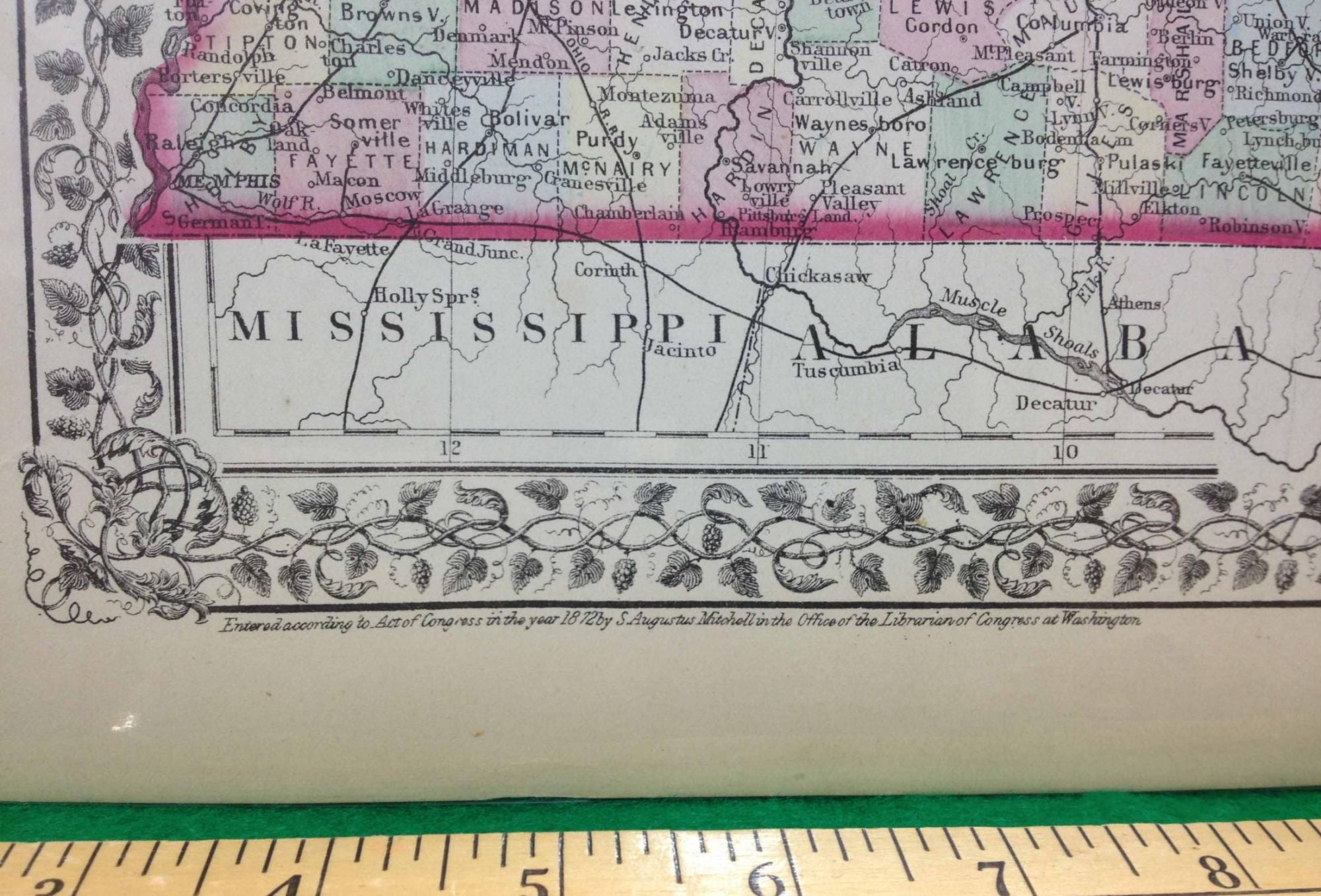
15 1/8 x 12 inches. Counties hand-colored. Fine.----------------------------------------- From Mitchell's New General Atlas, 1874, plate number 29. Counties, cities,rivers and railroads named.
Price: $100.00
See all items by MAP