
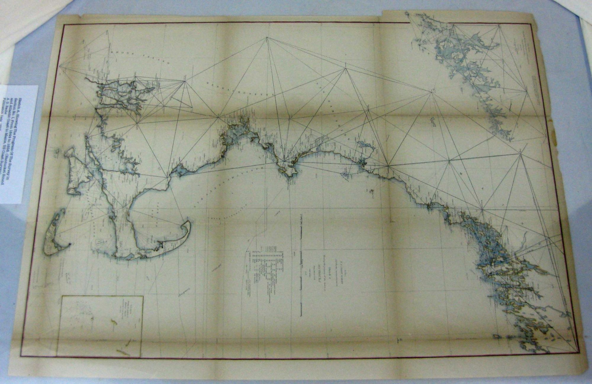
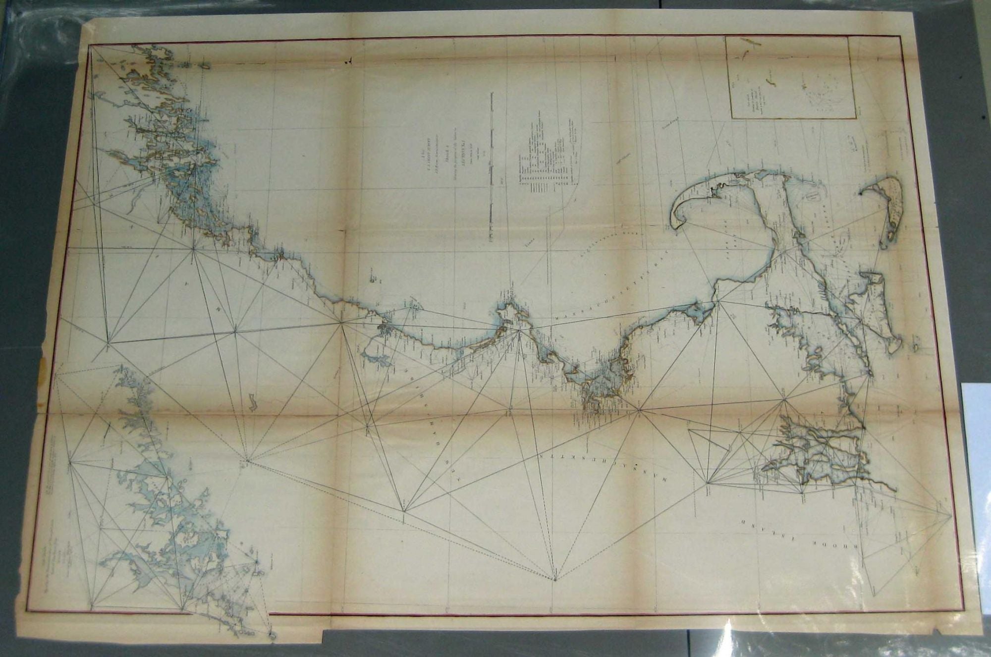
Sketch A, Showing The Progress Of The Survey in Section No. I, From 1844 to 1858. (Nantucket Sound and Atlantic Coast to Maine, US Coast Survey)
(Wash. D.C.): U.S. Coast Survey Office, 1858. Imperial Edition. Map. Elephant Folio - over 15 - 23" tall. Very Good. Item #003028
1st edition, thus. 24.5" x 33.5". Hand colored. Very Good. Original folds visible. Light to medium toning along some folds, with some breaks. Margin intact, with small tears where the map was inserted into the atlas. Beautifully hand colored, a Very Good example. ***This map comes from the Report of the Superintendent of the U.S. Coast Survey for 1858. It contains recordings of river depth, tide tale, ocean depths, sailing direction, road names, towns, travelers stops, streams, necks, island and farm names.***.
Price: $400.00
See all items by MAP, A. D. Bache